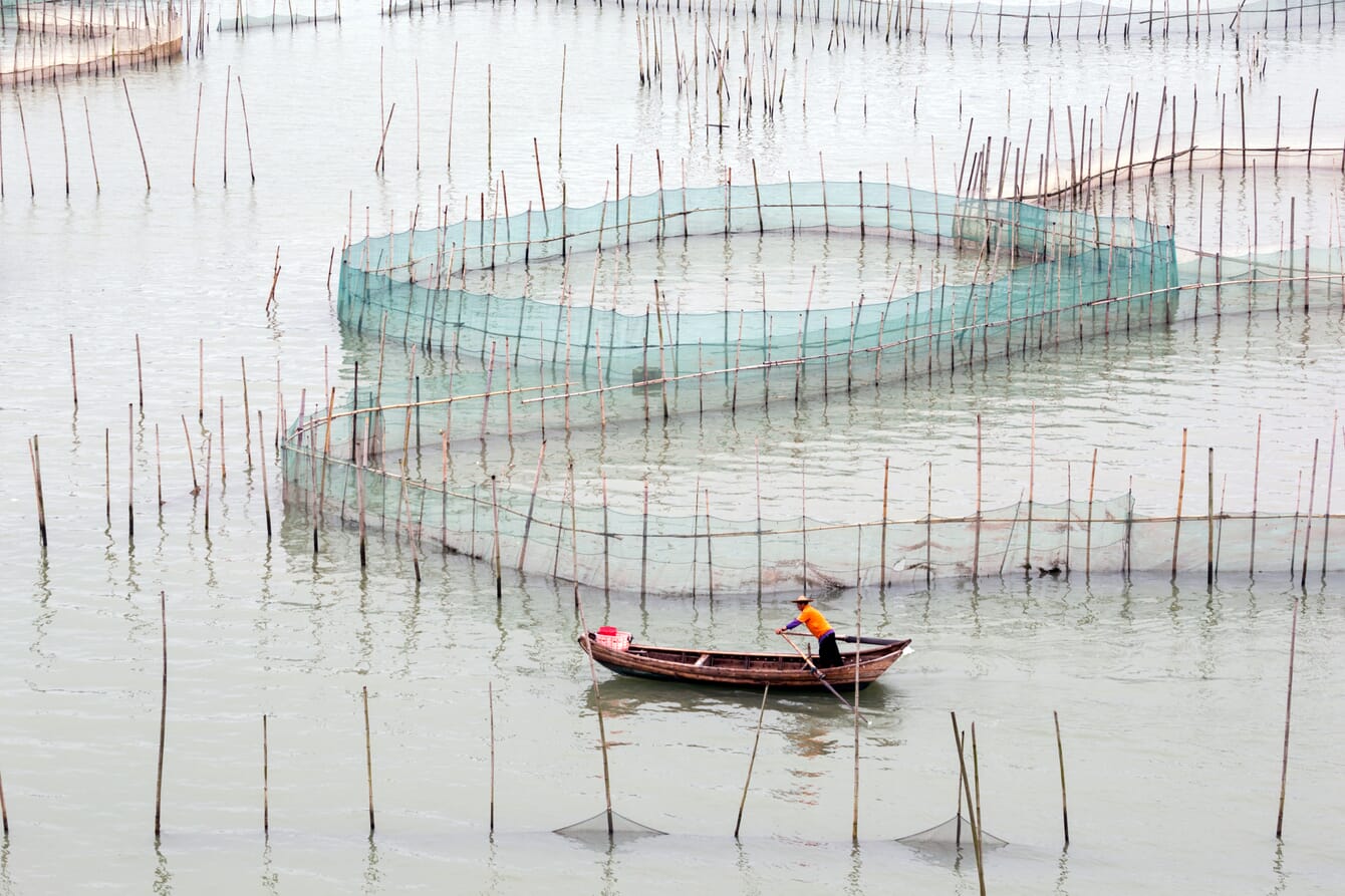
The latest dataset shows that the total area of China’s coastal aquaculture ponds experienced a substantial loss of 13.21 percent from 9,769 km² in 2016 to 8,629 km² in 2021 © Chen WS
A research group led by Prof Wang Zongming from the Northeast Institute of Geography and Agroecology (IGA) of the Chinese Academy of Sciences has developed an object-oriented method to obtain the annual 10-m-spatial-resolution national coastal aquaculture pond dataset of China between 2016 and 2021 (China_CAP). According to the researchers, the new classification boasts an overall accuracy of more than 90 percent. The method integrates superpixels image segmentation and hierarchical decision trees.
The study was published in Remote Sensing of Environment on 12 November 2022.
Although previous studies have provided valuable datasets of coastal aquaculture ponds in China at various scales, the researchers explain that those datasets are outdated and somewhat limited. They tend to have moderate spatial resolution (about 30-m) and have a temporal resolution between 5 and 10 years.
The latest dataset shows that the total area of China’s coastal aquaculture ponds experienced a substantial loss of 13.21 percent from 9,769 km² in 2016 to 8,629 km² in 2021.
The most remarkable areal reduction occurred in Zhejiang Province, with a decrease rate of 38.24 percent, followed by Guangdong (27.93 percent). These reductions were mostly related to the policy of retuning aquaculture ponds to natural wetlands. Coastal aquaculture ponds in Fujian and Tianjin provinces experienced slight areal gains (7.24 percent and 2.13 percent).
“The generated dataset is vital for formulating and implementing sustainable strategies related to the wise use of coastal wetlands and it is of great scientific and practical importance to support the evaluation of Sustainable Development Goals,” said Prof Wang.


