© Fish Welfare Initiative
On the southeastern shores of India, far from the bustle of Delhi and the grandeur of the Taj Mahal, lies Andhra Pradesh – a state accounting for 41 percent of all Indian aquaculture. My organisation, Fish Welfare Initiative, works closely here with local staff and farmers, aiming to improve fish welfare by supporting better aquaculture practices.
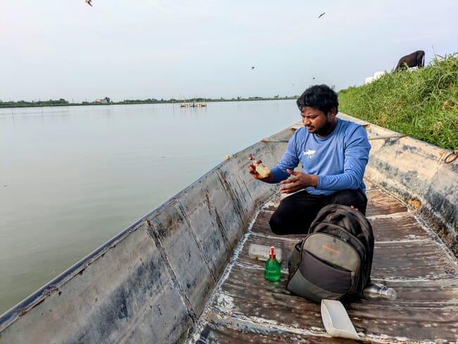
The core of our Alliance for Responsible Aquaculture programme involves free water quality testing for the state’s earthen pond carp farmers. Last week, as part of this programme, my colleague Ravi and I drove out on our motorbikes to visit some farms. At one farm, we found both dangerously high ammonia and low oxygen; two others had low oxygen alone. Fortunately, the farmers were able to take quick action and avert any mortalities.
Our experience over the past four years suggests these cases are far from rare. Across our dataset, 21 percent of the water quality measurements we collect are outside healthy levels. When surveyed, farmers identify poor water quality as the second highest cause of fish mortalities – just behind climate. Yet despite the risks, farmers generally only have their water quality tested after issues (e.g. mortalities) have already occurred, and our team can only visit each farm every few weeks.
To address this gap, we've explored a range of solutions. In-pond sensors offer some promise, but are still too expensive – and too maintenance-intensive – for widespread use across smallholder farms. That’s led us to investigate something more ambitious: satellite-based remote sensing.
Here’s how it would work: satellites like the Sentinel-2 regularly take detailed, hyperspectral images of the Earth’s surface. By combining these images with other data (e.g. weather and historical farm data) a predictive model could detect potential water quality issues – without anyone ever visiting the farm. If a model flagged a potential issue, the farmer could then be alerted to take a closer look.

© Copernicus Data Space Browser
This technology, while promising, is still largely theoretical. It’s been used to detect large phytoplankton blooms in the ocean, but – despite occasional hype from aquaculture startups – we are unaware of any examples of accurate satellite-based models being used on smallholder fish farms. We ourselves have spent the past year working on it, but haven’t yet succeeded. The challenges are significant: these farms are small, and some key components of water quality (e.g. oxygen, ammonia) are not optically active, meaning that they cannot be directly estimated via any one image property.
Still, we believe the potential is worth pursuing. So we’re trying one last big push to develop this technology: We’ve launched a new Innovation Challenge, now with a top prize of $100,000, for the team who’s able to crack it.
We warmly invite aquaculture and geospatial startups, academics, researchers and data scientists worldwide to consider this challenge. And as Fish Welfare Initiative is a non-profit, our goal is to make the resulting tools publicly available, contributing to better farming practices – and better fish welfare – for smallholder farms the world over.
Interested parties may see the full details of Fish Welfare Initiative’s latest Innovation Challenge here. The submission deadline is August 20, 2025.


