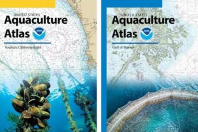
According to NOAA, the AOA Atlases represent the most comprehensive regional marine spatial analyses ever conducted for US federal waters. Each Atlas consists of more than 200 data layers, including economics, natural and cultural resources, fishing and aquaculture, industry and navigation, aquatic animal health and national security © NOAA
At this year’s Aquaculture America conference, NOAA staff gave presentations about the process to identify Aquaculture Opportunity Areas. AOAs are small, defined geographic areas that have been evaluated to determine potential suitability for commercial aquaculture. The ability to farm seafood within AOAs will expand economic opportunities in coastal and rural areas, and increase seafood security.
Presenting at the conference was part of NOAA’s ongoing effort to engage stakeholders in the AOA identification process. Presenters stressed that stakeholder input and the continued use of best-available science are essential to the expansion of sustainable aquaculture in the United States.
According to NOAA, AOA siting and planning will advance US aquaculture by identifying areas that are environmentally, socially, and economically suitable to support multiple operations and varying types of aquaculture. NOAA began the process in 2020 to identify AOAs, first selecting federal waters off southern California and in the Gulf of Mexico for evaluation, and releasing two AOA Atlases.
The Southern California Bight and US Gulf of Mexico both feature areas that can support aquaculture environmentally, socially, and economically.
NOAA Fisheries Deputy Assistant Administrator for Operations, Dr Paul Doremus, emphasised the agency’s commitment to supporting a resilient and sustainable seafood sector. He also highlighted the critical role aquaculture plays in meeting the demand for safe, nutritious seafood.
Presentations that followed were:
- Aquaculture Opportunity Area Updates
Presented by Kristy Beard, policy analyst and national AOA lead, NOAA Office of Aquaculture
- NOAA AOA Atlas Results for Federal Waters of the Gulf of Mexico
Presented by Dr Ken Riley, marine ecologist, National Centers for Coastal Ocean Science
- NOAA AOA Atlas Results for Federal Waters of the Southern California Bight
Presented by Dr Ken Riley
According to NOAA, the AOA Atlases represent the most comprehensive regional marine spatial analyses ever conducted for US federal waters. Each Atlas consists of more than 200 data layers, including economics, natural and cultural resources, fishing and aquaculture, industry and navigation, aquatic animal health, and national security.
The spatial analysis results within the AOA Atlases included nine areas in the Gulf of Mexico and 10 areas in the Southern California Bight. These areas have the highest potential to support three to five marine aquaculture operations, while also minimizing conflicts with other ocean uses.
In addition to providing information about NOAA’s recent work on AOAs, there were presentations about planned next steps:
- Science to Support Aquaculture Opportunity Areas, presented by Seth Theuerkauf
- National Environmental Policy Act, Programmatic Environmental Impact Statement Status Update, Presented by Andrew Richard, regional aquaculture coordinator, NOAA Fisheries Southeast Regional Office
As the presenters pointed out, studying and identifying Aquaculture Opportunity Areas is a science-based, stakeholder driven process. Each component is essential to selecting areas that are ideal for the advancement of sustainable aquaculture across the United States.


