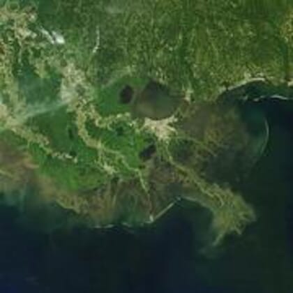
The Gulf’s hypoxic zone is caused by excess nutrient pollution, primarily from human activities in the watershed, such as urbanization and agriculture. The excess nutrients stimulate an overgrowth of algae, which then sinks and decomposes in the water. The resulting low oxygen levels near the bottom are insufficient to support most marine life.
© USGS
Studies have also shown a multitude of other impacts associated with high nutrient concentrations within watersheds. Such impacts include high nitrates in groundwater, higher drinking and wastewater treatment costs and wasted fertilizer applications.
The 2018 forecast is similar to the 33-year average of 5,460 square miles and is smaller than the 8,776 square mile 2017 Gulf dead zone, which was the largest measured since mapping began in 1985.
Even though NOAA is predicting an average dead zone this summer, it remains three times larger than the long-term target set by the Interagency Mississippi River and Gulf of Mexico Hypoxia Task Force, a group charged with reducing the Gulf dead zone.
“The Gulf’s recurring summer hypoxic zone continues to put important habitats and valuable fisheries at risk,” said Dr Steve Thur, director of NOAA’s National Centers for Coastal Ocean Science. “Although there has been some progress in reducing nutrients, the overall levels remain high and continue to strain the region’s coastal economies.”
NOAA issues a dead zone forecast each year, and refines the models used by the Hypoxia Task Force to set nutrient reduction targets and better understand the link between hypoxia and nutrients. The forecast is based on nitrogen runoff and river discharge data from the US Geological Survey. The forecast assumes typical weather conditions, but the dead zone could be disrupted by hurricanes and tropical storms. A NOAA-supported monitoring survey will confirm the size of the 2018 Gulf dead zone in early August.
Higher river discharge in May carries a larger nutrient load into the Gulf of Mexico, one factor that contributes to a larger hypoxic zone. This past May, discharge in the Mississippi and Atchafalaya rivers was about 4 percent above the long-term average (between 1980 and 2017). The USGS estimates that this near-average river discharge carried 115,000 metric tons of nitrate and 18,500 metric tons of phosphorus into the Gulf of Mexico in May. These nitrate loads were about 13 percent below the long-term average, and the phosphorus loads were about 10 percent above the long-term average.