High algal concentrations may increase stress in farmed fish – especially during delousing operations at marine sites – because the algae, among other things, can obstruct the fishes' gills. This summer, the presence of high algae concentrations, in combination with hydrogen peroxide treatments, was almost certainly responsible for the death of 38,000 fish at the Gratanglaks and Kleiva Fiskefarm facilities in northern Norway
Plankton occurrences are currently monitored using fresh seawater samples, which provide information about the numbers and diversity of algae species. The problem is that this requires effective logistics and is quite time-consuming – problems that have helped to inspire the development of the new tool.
"Our tool works in a similar way to meteorological simulations," says Ingrid Ellingsen, who is a Senior Researcher at SINTEF Ocean. "With the assistance of computer software, we can provide rapid warnings of algal blooms in any given area."
© SINTEF Ocean
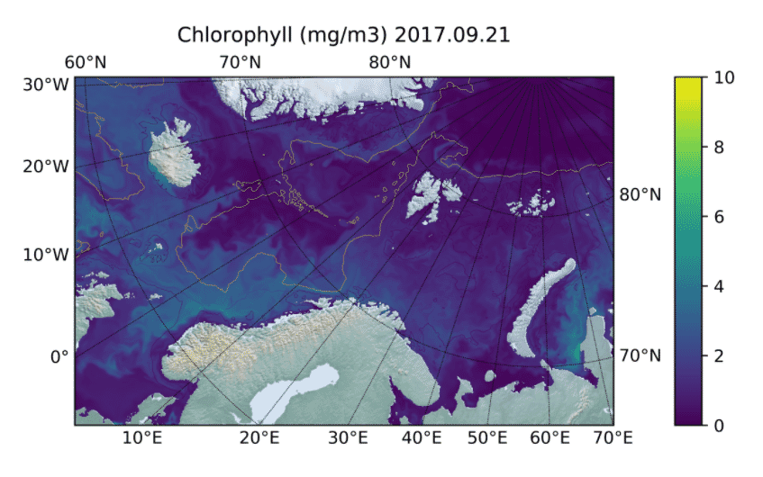
Satellite images taken at the time of the mass mortality show the presence of algal blooms along the coasts of Nordland and Troms counties, and samples taken from the area and analysed by SINTEF also show high concentrations of Emiliana huxleyi and other flagellates. The problem was that this information did not become available until some days after the fatal incident. Use of the simulation tool would have enabled a warning to be issued before it was too late.
The model provides continuous notifications of algal blooms along the Norwegian coast. The tool requires further development, but researchers are hoping that it will be of interest to the aquaculture sector.
An operational simulation model incorporating a biological module has been set up and is being developed as part of the ENTiCE project.
The model shows high resolution along the Trøndelag coast, although resolution along the rest of the Norwegian coast is less advanced.
"The example from Troms demonstrates that model-based warnings can be useful tools in the monitoring of algal concentrations in coastal waters," explains SINTEF researcher Kristine B Steinhovden. "For example, the combination of model-derived and satellite data will enable us to provide information about when and where seawater samples should be taken for analysis, especially in connection with planned operations involving farmed fish."

