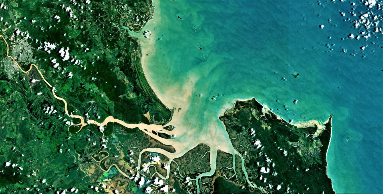
It is one of the six pilot sites AquaWatch has set up already. © European Union
Called AquaWatch Australia, it is being developed by CSIRO, the country’s national science agency. It aims to provide near real-time updates and predictive forecasting – a weather service for water quality – once fully operational.
Using an extensive network of Earth observation satellites and ground-based water sensors, it will support better water quality management, with early warning of harmful events such as harmful algal blooms (HABs), blackwater and runoff contamination.
CSIRO, with foundation partner SmartSat CRC, is bringing together research, government, and industry with an initial co-investment of $83 million to design and develop AquaWatch.
CSIRO Chief Executive, Larry Marshall, said water is one of the most important and vital resources in Australia and across the globe.
“Imagine taking your family to the local swimming spot and being able to open your phone and check the water quality before they dive in. Or better yet, getting a forecast for the water quality days before you planned your family day out,” Dr Marshall said.
“Now imagine the impact of this if you were an environment manager, able to receive advance warning of the oxygen-depleted blackwater events often responsible for mass fish kills. Or an aquaculture farmer able to plan ahead for an impending algal bloom.
“The ingenuity behind AquaWatch is it integrates Earth observation with other science capabilities like in-situ sensing, ecosystem modelling, engineering, data science and artificial intelligence," he said.
Working with a range of implementation partners, AquaWatch will extend from rivers to coasts, with the ability to monitor bays, coastal wetlands, aquaculture farming, mangrove forests and coral reefs, including the Great Barrier Reef.
Data from both the sensors in the water and on the satellites will then be integrated at a central data hub where CSIRO’s capability in data analysis and AI can provide forecasts a few days ahead.